25 of 38
Previous
Road to Miles trailhead
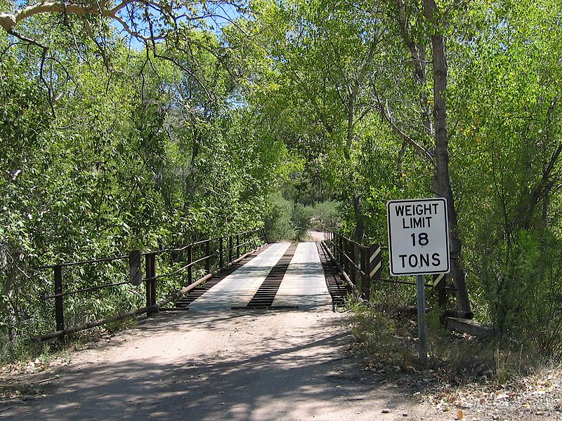
The bridge over Pinto creek is just past the "Y".
Next
Location:
• Latitude: N 033° 36' 52.80"
• Longitude: W 111° 02' 07.77"
• Altitude: 746.00m
Date:
9/11/04 11:57:24 AM
W x H:
800 x 600
Albums:
Road to Miles and Haunted Canyon, Road to Miles trailhead