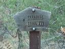
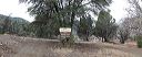
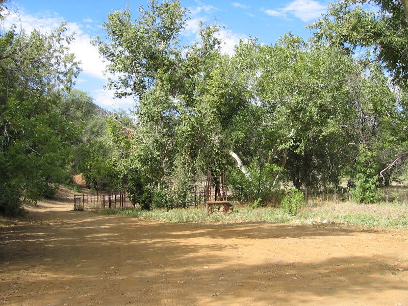
Road to Miles trailhead Corral and cattle chute at entrance to the Miles trailhead at the end of FR-287a. More photos of the ranch are in the Landmarks section. (The Forest Service calls it Miles trailhead. Topo maps also show it as Kennedy Ranch.)
Next
Location:
• Latitude: N 033° 26' 14.35"
• Longitude: W 111° 03' 54.45"
• Altitude: 1,051.00m
Date:
9/18/04 10:15:28 AM
W x H:
2272 x 1704
Albums:
Kennedy Ranch, Road to Miles and Haunted Canyon, Road to Miles trailhead