4 of 38
Previous
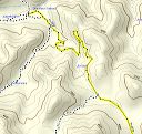
Road to Miles trailhead
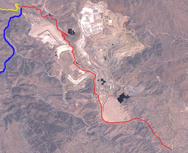
LandSat view of the road through the mine. Red= FR-287, Blue = SE end of the Haunted Canyon trail, Yellow= FR-287a
Next
Location:
• Latitude:
• Longitude:
• Altitude:
Date:
W x H:
651 x 532
Albums:
Road to Miles trailhead