|
Hike to Reavis Falls in the Superstition Wilderness
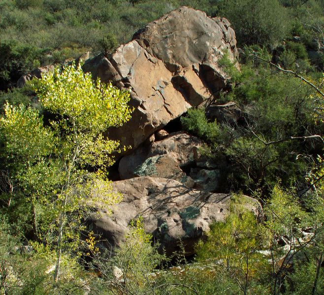
Approaching the creek (at bottom) and the end of the path. Remember this rock formation to help find the path home. The start of the route home can be hard to find from the creekbed even if you're practically on top of it. You'll want to make sure the exit route is clearly marked before leaving the path and entering the creekbed.
|