48 of 101
Previous
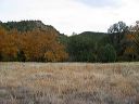
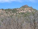
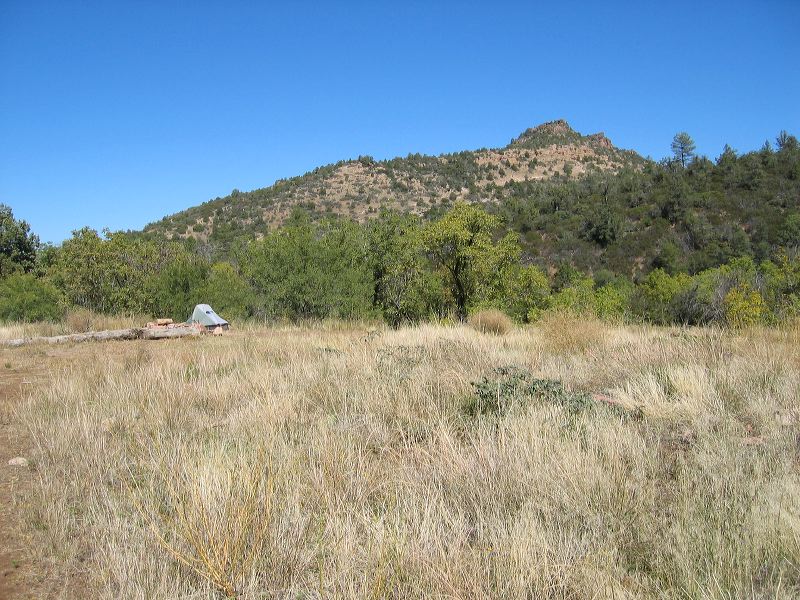
This hill is the one that the Reavis Gap trail is on. This view was taken from the slab of the old ranch house.
Next
Location:
• Latitude: N 033° 29' 15.03"
• Longitude: W 111° 07' 56.55"
• Altitude: 1,662.00m
Date:
10/23/04 12:59:46 PM
W x H:
2272 x 1704
Albums:
web Reavis Gap - Ranch - Fireline loop