6 of 101
Previous
Reavis Gap trail, Reavis Ranch, and Fireline Trail loop
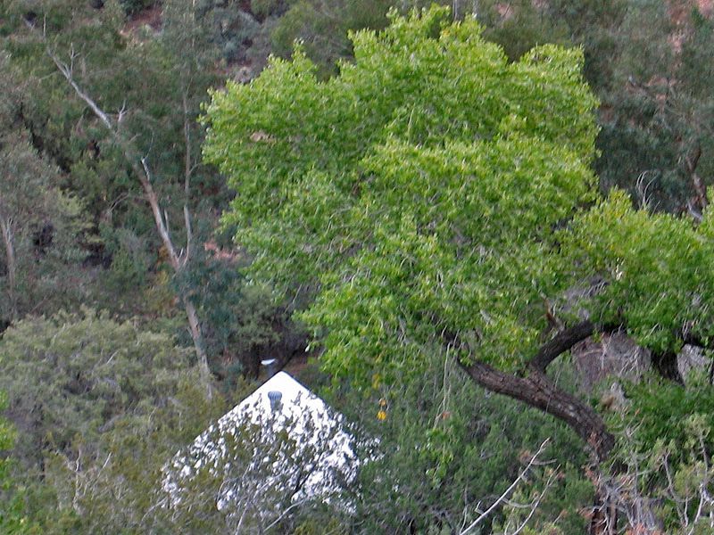
One of the permanent tents at the school.
Next
Location:
• Latitude: N 033° 31' 42.03"
• Longitude: W 111° 05' 04.05"
• Altitude: 1,012.00m
Date:
11/6/04 8:14:20 AM
W x H:
800 x 600
Albums:
Reevis Mountain School, web Reavis Gap - Ranch - Fireline loop