9 of 101
Previous
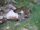
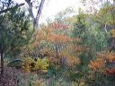
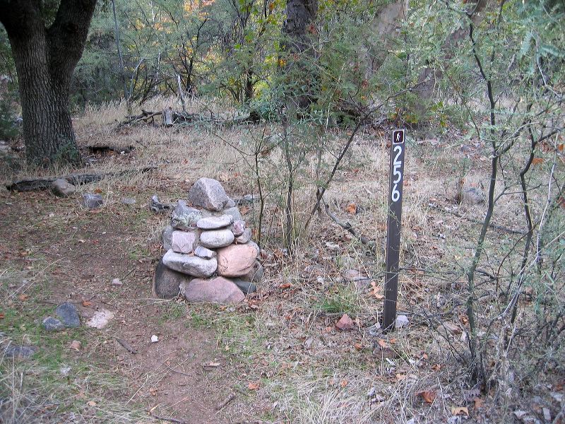
Reavis Gap trail, Reavis Ranch, and Fireline Trail loop
Cairn of rocks and concrete at the west end of the school.
Next
Location:
• Latitude: N 033° 31' 28.05"
• Longitude: W 111° 05' 09.46"
• Altitude: 1,016.00m
Date:
11/6/04 8:26:04 AM
W x H:
2272 x 1704
Albums:
web Reavis Gap - Ranch - Fireline loop