30 of 101
Previous
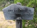
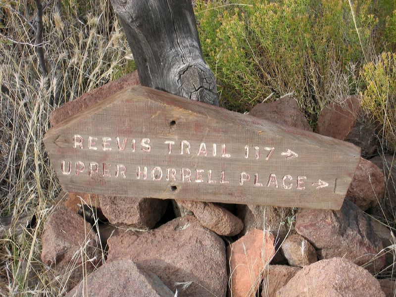
Reavis Gap trail, Reavis Ranch, and Fireline Trail loop
Note the spelling of Reavis. Upper Horrel Place is an old name for the trailhead.
Next
Location:
• Latitude: N 033° 31' 13.45"
• Longitude: W 111° 07' 32.60"
• Altitude: 1,444.00m
Date:
11/6/04 10:41:06 AM
W x H:
2272 x 1704
Albums:
web Reavis Gap - Ranch - Fireline loop