5 of 101
Previous
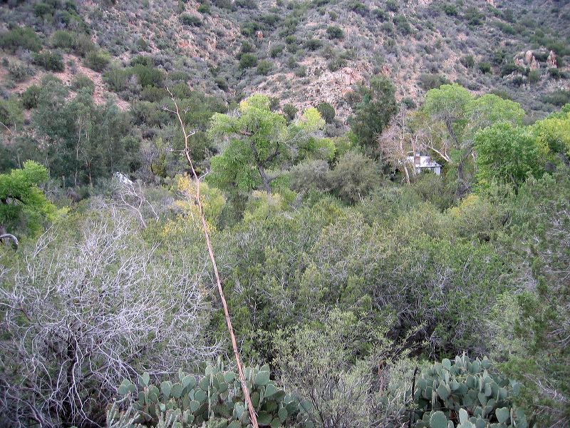
Reavis Gap trail, Reavis Ranch, and Fireline Trail loop
The early part of the trail circles the
Reevis Mountain School and Sanctuary.
Next
Location:
• Latitude: N 033° 31' 41.18"
• Longitude: W 111° 05' 04.82"
• Altitude: 1,014.00m
Date:
11/6/04 8:14:37 AM
W x H:
2272 x 1704
Albums:
Reevis Mountain School, web Reavis Gap - Ranch - Fireline loop