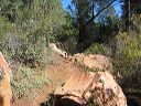
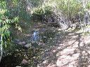
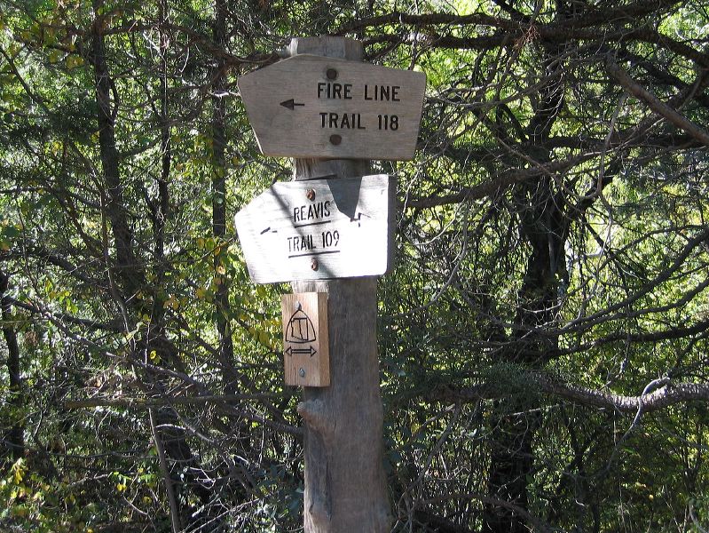
Reavis Ranch from the South Junction of Reavis Trail #109 and Fire Line Trail #118 Many hikers set up camp at the ranch and then come back to this junction and visit Circlestone which is off the Fire Line trail. It's a 6 mile roundtrip.
Next
Location:
• Latitude: N 033° 29' 15.03"
• Longitude: W 111° 07' 56.55"
• Altitude: 1,662.00m
Date:
10/23/04 10:45:38 AM
W x H:
1898 x 1424
Albums:
Reavis Ranch, Upper Horrell Trailhead, web Reavis Ranch from South