44 of 46
Previous
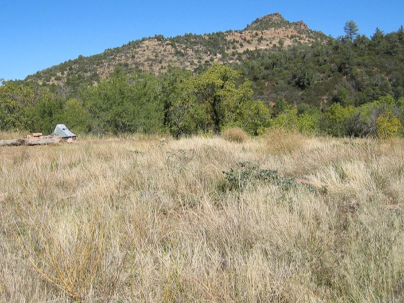
Reavis Ranch from the South
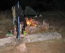
Camping spot near the slab (barely visible at right) of the old cabin. The cabin was used by hikers for many years but burned in November of 1991.
Next
Location:
• Latitude: N 033° 29' 15.03"
• Longitude: W 111° 07' 56.55"
• Altitude: 1,662.00m
Date:
10/23/04 12:59:46 PM
W x H:
1898 x 1424
Albums:
Reavis Ranch, web Reavis Ranch from South