37 of 46
Previous
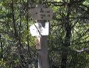
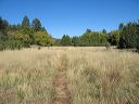
Reavis Ranch from the South
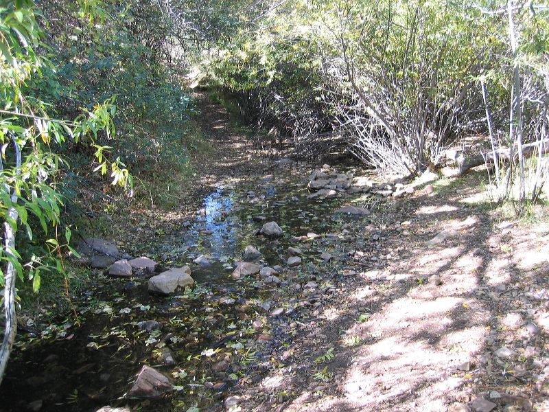
Water near the Junction of the Fire Line trail #118 and the Reavis trail #109.
Next
Location:
• Latitude: N 033° 29' 15.03"
• Longitude: W 111° 07' 56.55"
• Altitude: 1,662.00m
Date:
10/23/04 1:10:35 PM
W x H:
2272 x 1704
Albums:
Reavis Ranch, Upper Horrell Trailhead, web Reavis Ranch from South