16 of 66
Previous
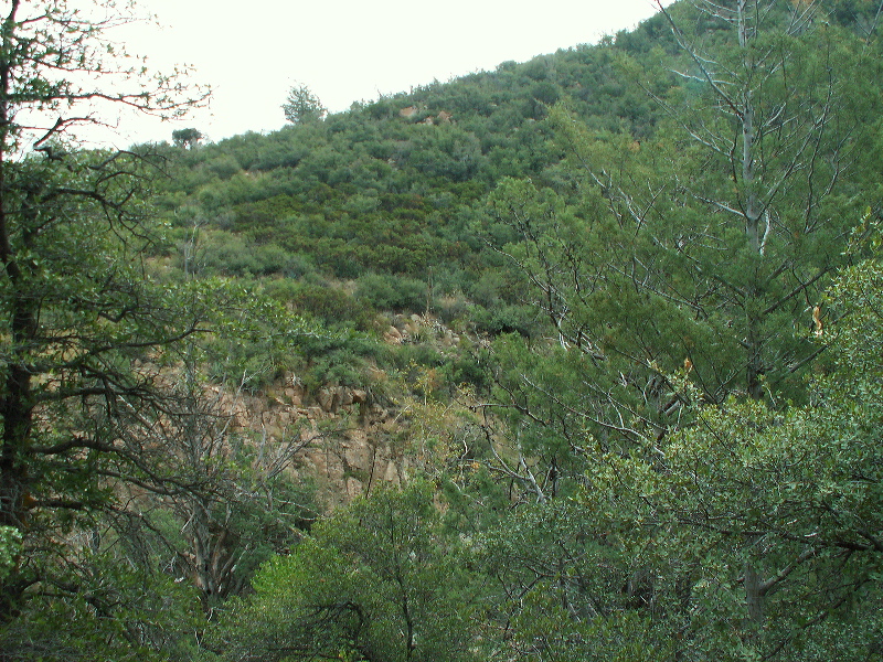
This is the area of the side trail toward the Bull Pass area (SSAR maps) Apparently it crosses below and then above the Manzanita grove at center.
Next
Albums:
Rock Creek
Altitude: 1164.00m
•Latitude: N 033° 25' 19.37"
•Longitude: W 111° 06' 01.02"
Date:
10/6/07 9:26:00 AM
W x H:
2560 x 1920