2 of 11
Previous
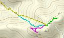
Alternate Route to Flatiron on Superstition Mountain
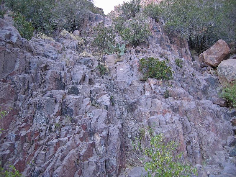
Less than 15 minutes past this point is where I branched off to the right and out of the creekbed. Be aware that the standard route stays in or just to the left of the creekbed.
Next
Location:
• Latitude: N 033° 26' 24.31"
• Longitude: W 111° 27' 26.31"
• Altitude: 1,042.00m
Date:
12/17/05 10:00:58 AM
W x H:
2272 x 1704
Albums:
web Siphon Draw Alternate