Previous |
Alternate Route to Flatiron on Superstition Mountain
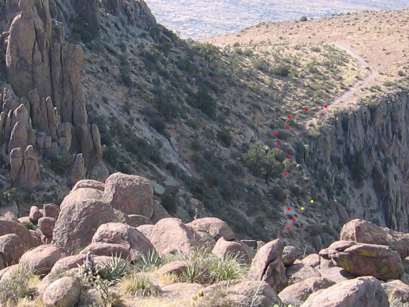
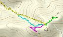
According to the GPS tracks we came up about south of the main route in Siphon Draw and ran into the path between Flatiron and North Peak (red dots). Looking at this photo taken from the top of North Peak, it's hard to figure out where that might have been. Maybe the yellow dots with the path dropping behind the rock at the second yellow dot.
|
Next |