5 of 59
Previous
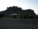
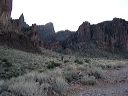
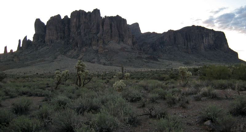
Siphon Draw Route to Superstition Mountain Ridgeline
Be warned that the Forest Service discourages hiking past the boundary sign for the Superstition Wilderness where the official Siphon Draw trail ends.
Next
Location:
• Latitude:
• Longitude:
• Altitude:
Date:
2/9/07 7:21:19 PM
W x H:
2654 x 1433
Albums:
web Siphon Draw