15 of 59
Previous
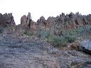
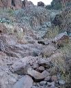
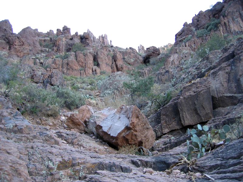
Hike up Siphon Draw in the Supersition Wilderness
Shot 4 of 4 from left to right. Note the large green boulder at center--the route goes by it.
Next
Location:
• Latitude: N 033° 26' 28.24"
• Longitude: W 111° 27' 33.75"
• Altitude: 997.00m
Date:
12/27/05 8:35:03 AM
W x H:
2272 x 1704
Albums:
web Siphon Draw