51 of 59
Previous
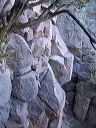
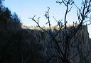
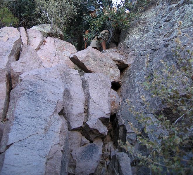
Hike up Siphon Draw in the Supersition Wilderness
Other hikers climb the right side. Note black marks on rock in several spot--they're boot scuff marks.
Next
Location:
• Latitude: N 033° 26' 17.81"
• Longitude: W 111° 27' 04.45"
• Altitude: 1,388.00m
Date:
12/27/05 10:27:08 AM
W x H:
1704 x 1547
Albums:
web Siphon Draw