55 of 59
Previous
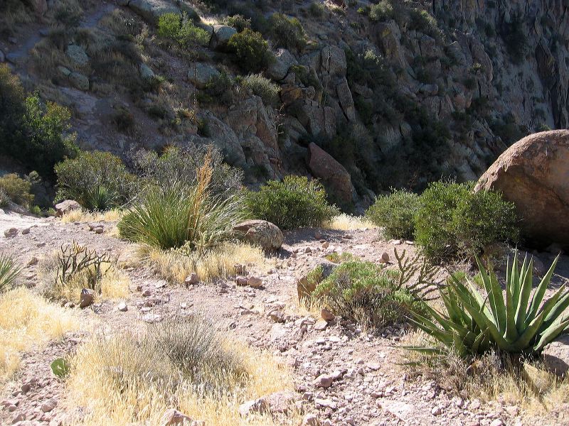
Hike up Siphon Draw in the Supersition Wilderness
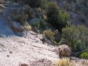
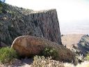
The path down is at the rock and bush near the left edge of the photo. (See better view in the prior photo.) The boulder at right is the same one in the next photo.
Next
Location:
• Latitude: N 033° 26' 18.21"
• Longitude: W 111° 27' 04.85"
• Altitude: 1,403.00m
Date:
12/27/05 1:25:23 PM
W x H:
2272 x 1704
Albums:
web Siphon Draw