8 of 30
Previous
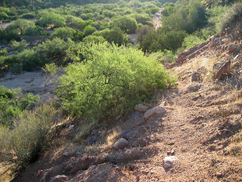
Tule Trail
Looking back east while climbing the south bank. (The corral is just off the left edge of the photo.)
Next
Location:
• Latitude: N 033° 34' 50.75"
• Longitude: W 111° 05' 13.40"
• Altitude: 931.00m
Date:
9/11/04 6:49:35 AM
W x H:
2272 x 1704
Albums:
Acacia-White Thorn, web Tule Canyon Trail