58 of 63
Previous
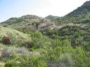
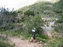
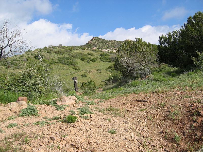
JF Trail from Woodbury to Tortilla Pass
Tortilla Pass and the junction with the start of the Rogers Canyon Trail #110 which climbs the hill ahead. The JF Trail turns northwest.
Next
Location:
• Latitude: N 033° 26' 45.71"
• Longitude: W 111° 13' 27.47"
• Altitude: 1,356.00m
Date:
4/9/05 8:35:33 AM
W x H:
2272 x 1704
Albums:
web Woodbury to Tortilla Pass