1 of 27
Previous
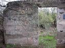
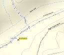
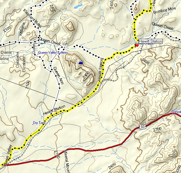
Hewitt Station
The yellow route consists of three different roads. The red flag is near the junction of FR-357 (Hewitt Station Rd) and FR-172 (Hewitt Canyon Rd). For more details on the routes, see:
Rogers Trough Trailhead
Next
Location:
• Latitude:
• Longitude:
• Altitude:
Date:
W x H:
624 x 596
Albums:
web Hewitt Station