2 of 22
Previous
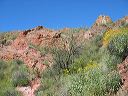
Indian Paint Mine
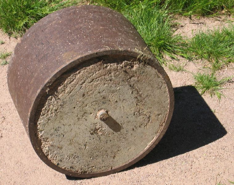
Iron roller about 1/4 mile NE of the paint mine on the Boulder Canyon trail. Probably used to crush rock from the mine.
Next
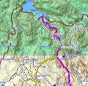
Location:
• Latitude: N 033° 30' 25.09"
• Longitude: W 111° 24' 04.46"
• Altitude: 568.00m
Date:
3/26/05 10:56:48 AM
W x H:
1615 x 1276
Albums:
web Indian Paint Mine