16 of 47
Previous
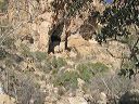
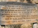
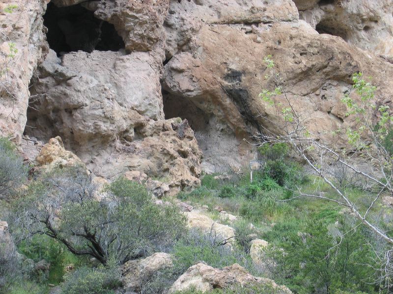
Rogers Canyon Cliff Dwelling
Approaching from the west. Taken from just below the ruin. The wall next to the lower ruin can be seen at center left. The Forest Service sign is at center right.
Next
Location:
• Latitude: N 033° 27' 48.74"
• Longitude: W 111° 12' 23.21"
• Altitude: 1,134.00m
Date:
4/9/05 10:49:13 AM
W x H:
2272 x 1704
Albums:
web Rogers Canyon Cliff Dwelling