3 of 10
Previous
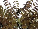
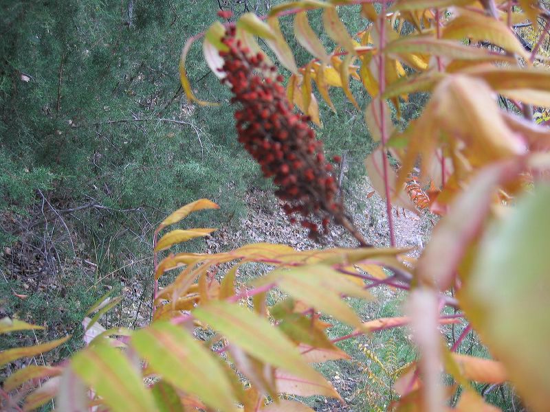
Smooth Sumac: Ripe Fruit
Next
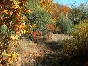
Location:
• Latitude: N 033° 31' 25.58"
• Longitude: W 111° 05' 21.59"
• Altitude: 1,029.00m
Date:
11/6/04 8:34:18 AM
W x H:
2272 x 1704
Albums:
Reavis Gap, Fire Line, Upper Horrell Trailhead, Smooth Sumac