6 of 10
Previous
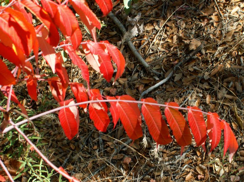
Smooth Sumac
Next
Location:
• Latitude: N 033° 26' 18.13"
• Longitude: W 111° 08' 44.36"
• Altitude: 1,344.00m
Date:
11/12/05 10:33:17 AM
W x H:
2071 x 1553
Albums:
West Pinto Trail, Smooth Sumac