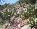
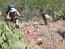
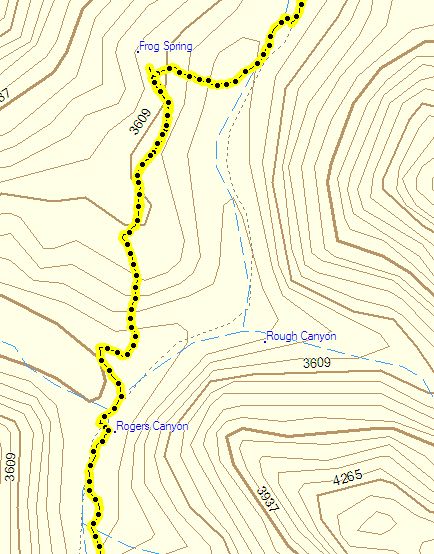
Frog Tanks Trail
This is the section near Frog Spring where many topo maps are wrong. The
Beartooth Map of the Superstition Wilderness,
is correct. The trail does not follow the creekbed as shown by the dotted line but climbs west from the Tanks toward Frog Spring and then turns south and rejoins the creekbed where Fish Creek intersects Rogers Canyon.