|
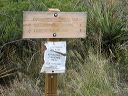
Two Bar Ridge and Cottonwood Creek trailheads:
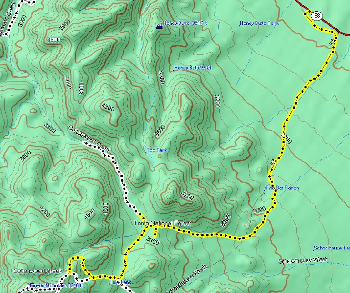
FR-83 leaves SR-188 between the turnoff for the Grapevine campground and the turnoff for the Tonto Cliff Dwellings. It's 6 miles and takes about 30 minutes. The elevation gain is 2100 feet. Note: many topo maps have SR-188 south of Lake Roosevelt labeled as 88.
The yellow spur pointed north is the road to the southern trailhead for the Cottonwood trail #120. The yellow spur pointed south is an uninteresting dead end--probably used by hunters.
|