38 of 69
Previous
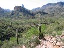
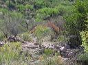
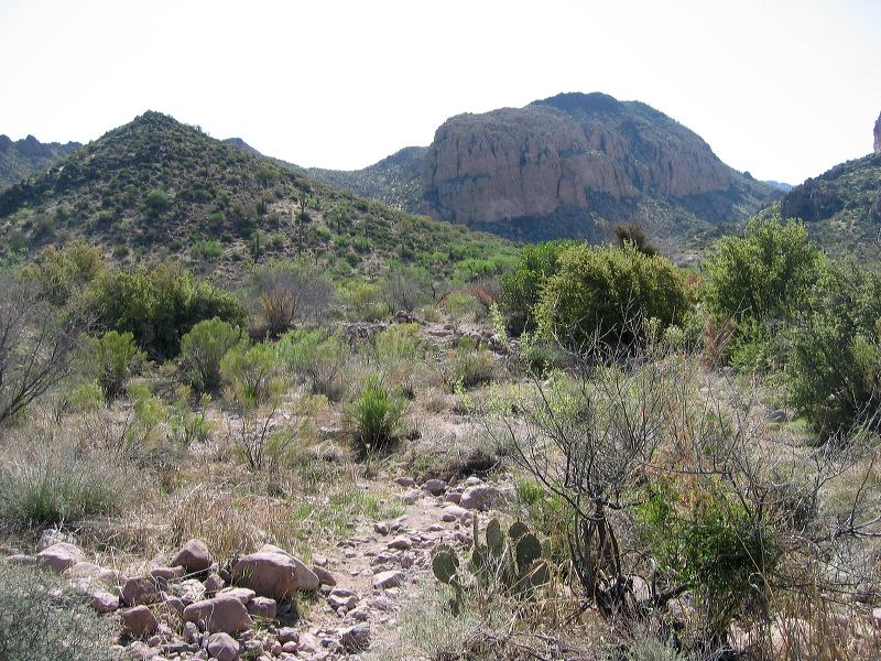
Black Mesa Loop
Sometimes the path across the creek is obvious but flowing water and vegetation growth can hide it.
Next
Location:
• Latitude: N 033° 27' 37.76"
• Longitude: W 111° 23' 40.99"
• Altitude: 699.00m
Date:
4/23/06 9:09:47 AM
W x H:
2272 x 1704
Albums:
web Black Mesa Loop