8 of 15
Previous
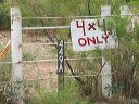
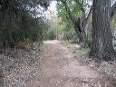
Road to Upper Horrel Trailhead aka Campaign Trailhead
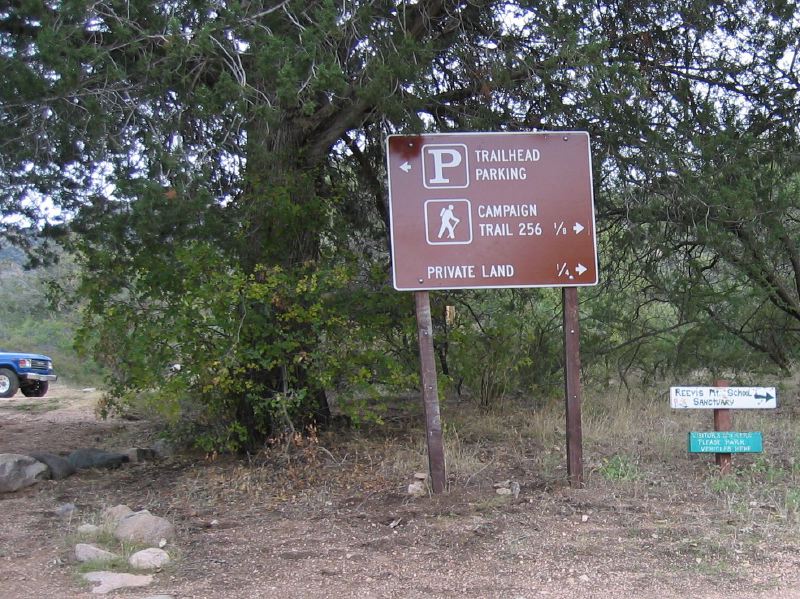
Parking for the Upper Horrell Place Trailhead is beyond the large tree. The start of the Campaign Trail #256, and Reevis Mountain School Sanctuary is off to the right.
Next
Location:
• Latitude: N 033° 31' 53.46"
• Longitude: W 111° 04' 43.66"
• Altitude: 984.00m
Date:
11/7/04 1:39:53 PM
W x H:
1415 x 1061
Albums:
web Upper Horrell Trailhead