73 of 77
Previous
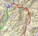
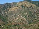
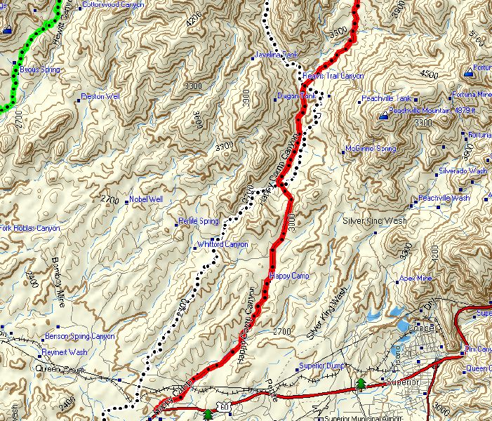
FR-650 from Rogers Trailhead:
Closeup of the south end of FR 650 with US-60 and Superior at right.
Next
Location:
• Latitude:
• Longitude:
• Altitude:
Date:
W x H:
766 x 655
Albums:
FR-172 to Woodbury and Rogers Trough