5 of 77
Previous
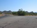
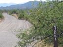
Roads to Woodbury and Rogers Trough trailheads:
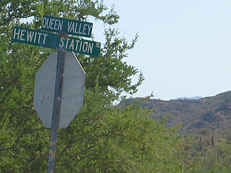
Sign at junction of Queen Valley and Hewitt Stations roads
Next
Location:
• Latitude: N 033° 19' 13.12"
• Longitude: W 111° 14' 22.94"
• Altitude: 681.00m
Date:
7/17/05 8:43:51 AM
W x H:
800 x 600
Albums:
Queen Valley Explore, FR-172 to Woodbury and Rogers Trough