49 of 101
Previous
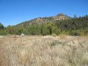
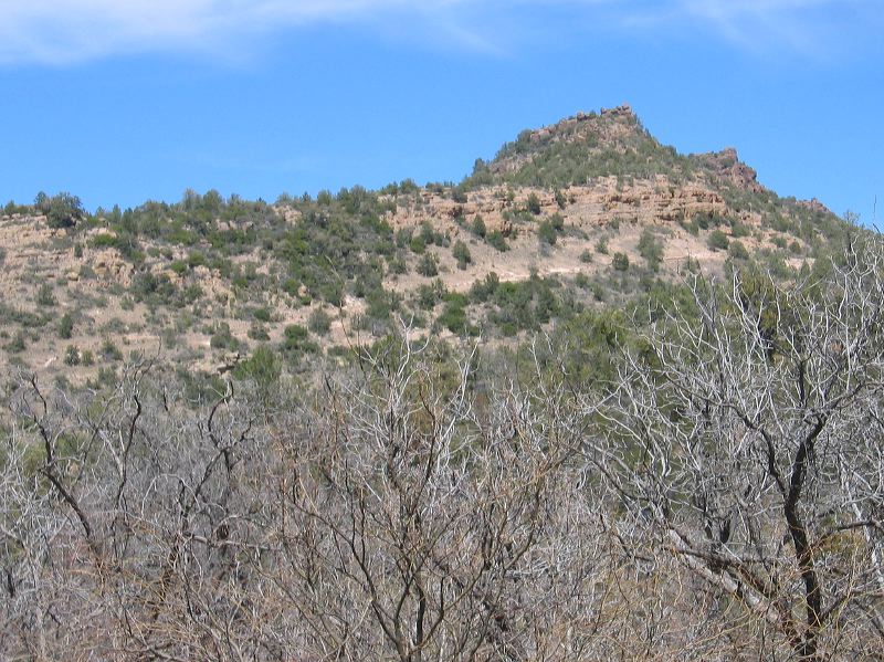
The Reavis Gap trail can be seen going from left to right at a moderate slope. Now you just have to find a path through the brush to find the west end.
Next
Location:
• Latitude: N 033° 29' 20.98"
• Longitude: W 111° 09' 19.19"
• Altitude: 1,480.00m
Date:
4/7/06 1:58:44 PM
W x H:
2023 x 1517
Albums:
web Reavis Gap - Ranch - Fireline loop