2 of 8
Previous
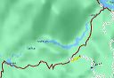
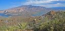
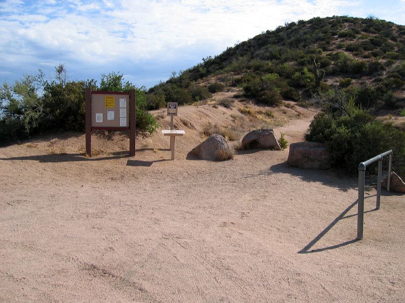
Reavis Ranch Trailhead
The Reavis Ranch (Valley) trail (behind the boulders) to Reavis Ranch used to be a 4-WD road that went the entire way to the ranch.
Next
Location:
• Latitude: N 033° 33' 23.61"
• Longitude: W 111° 13' 41.38"
• Altitude: 1,092.00m
Date:
7/31/04 8:41:19 AM
W x H:
2272 x 1704
Albums:
web Reavis Ranch trailhead