|
 |
|||||||||||||||||||||||||||||||||||||||||||||||||||||||||||||||||||||||||||||||||||||||||||||||||||||||||||||||||||||||||||||||||||||||||||
|
||||||||||||||||||||||||||||||||||||||||||||||||||||||||||||||||||||||||||||||||||||||||||||||||||||||||||||||||||||||||||||||||||||||||||||
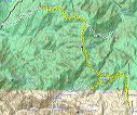
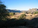
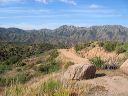
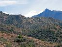
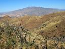
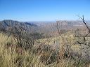
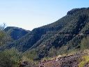
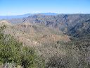
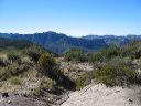
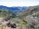
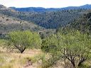
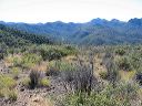
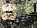
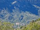
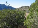
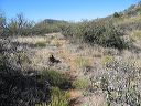
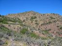
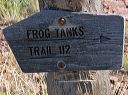
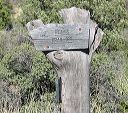
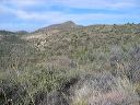
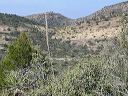
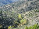
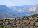
| Reavis Ranch is one of the most popular fall and spring backpacking destinations in the Superstition Wilderness. The fall sees the most visitors due to the abandonded but still producing apple orchard at the ranch. The area gets freezing temperatures overnight as early as late October so be prepared. There are several routes to Reavis Ranch, the two most popular are using the Reavis Ranch (Valley trail)--either the southern portion from the Roger's Trough Trailhead or the northern portion from the Reavis Ranch Trailhead (near Apache Lake). Next most popular, is a loop using the Fireline and Reavis Gap trails from the east. There are many other route combinations limited only by your imagination while looking at a trail map of the Superstion Wilderness. There are friendly arguments on every hike as to whether it's easier to hike in from the north or the south. The consensus seems to be: the other route from where the discussion is taking place.
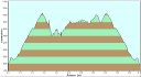
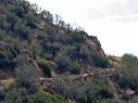
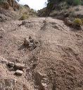
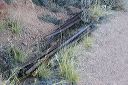
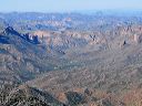
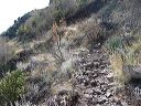
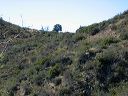
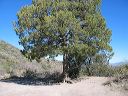
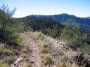
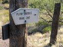
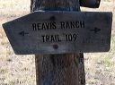
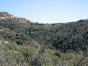
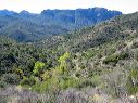
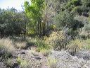
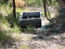
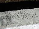
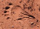
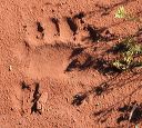
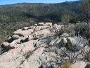
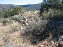
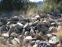
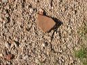
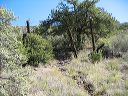
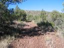
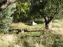
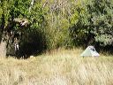
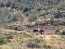
This hike started from Reavis Ranch Trailhead (near Apache Lake) and headed south on the Reavis Ranch Trail #109 (aka: Reavis Valley Trail). It's about an 18.6 mile round trip from the trailhead to the center of Reavis Ranch. The exact distance depends on where you camp--between the Fireline trail and the Reavis Gap Trail is the most popular and most open area. (There are also camping spots north of the Reavis Gap Trail.) The starting and ending elevations are 3584 feet, the low is 4800 feet, with the high is at 5051 feet. Many hikers get to Reavis Ranch by late morning, setup camp, take a break, and then make the side trip to Circlestone. That's about 6 miles round trip and takes roughly 4 hours. It's about 900 feet higher than Reavis Ranch--but your pack will be much lighter. (See my Superstion Landmarks section.). The exact distance depends on where you camp in Reavis Valley--the south end is closest to Circlestone. If you've already seen Circlestone, a side trip on either the way in or out is through Plow Saddle Spring and on to an unimpressive prehistoric ruin. That adds 3 miles. Allow at least an hour to explore the Reavis Ranch area. You can scout locations of good campsites--some are obvious in open areas and some are hidden. There are a number of cast iron farm implements spread over the valley plus foundations of old buildings. If you're visting during apple season, there are apples to pick. |
||||||||||||||||||||||||||||||||||||||||||||||||||||||||||||||||||||||||||||||||||||||||||||||||||||||||||||||||||||||||||||||||||||||||||||
 |
 |
|||||||||||||||||||||||||||||||||||||||||||||||||||||||||||||||||||||||||||||||||||||||||||||||||||||||||||||||||||||||||||||||||||||||||||
|
Click a thumbnail to see the full size image. Then use the Previous and Next thumbnails to
directly move among the full size images without having to return to this page each time. |
||||||||||||||||||||||||||||||||||||||||||||||||||||||||||||||||||||||||||||||||||||||||||||||||||||||||||||||||||||||||||||||||||||||||||||